
- Sep 2, 2025

After a long - and at times chaotic - summer season Nye Pie Pizza finishes off with a blast for the Saturday before Labor Day.
Celebrating the pizza shop's success, gratitude to the community, and the end to a gorgeous summer season in Montana, Nye Pie Pizza finishes the year with a customer appreciation weekend event - selling over 200 pizzas through the labor day weekend.
All of us at the Nye Trading Post and Nye Pie are still shocked and very grateful to the loads of people that came out during these summer weekends and we hope Nye Pie can come back even better in 2026!
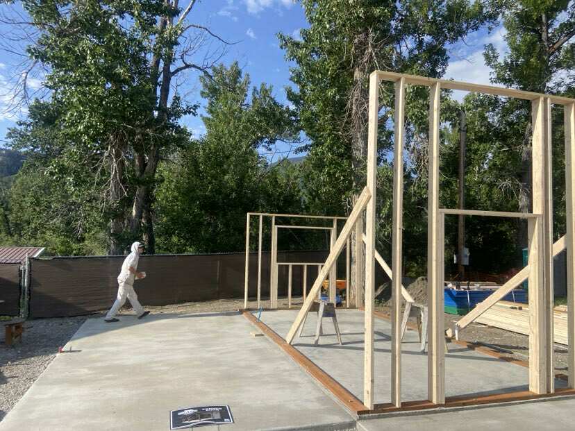
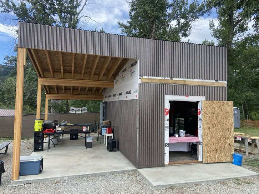
While there's tons we could write about in regards to everything that's happened this summer, I'll instead leave this post with a timeline of photos that we took through the summer as Nye Pie Pizza continued to grow. Once we've had a minute to rest, we'll post more about Nye Pie here and over at our Facebook page or you can just find us over at the Nye Trading Post and chat with us about it - we'll still be there all year round.


Thanks again for coming out to Nye Pie Pizza!


